Hello Rich,
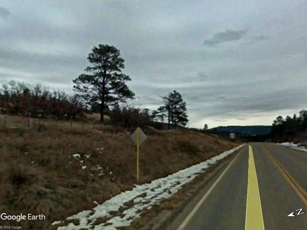
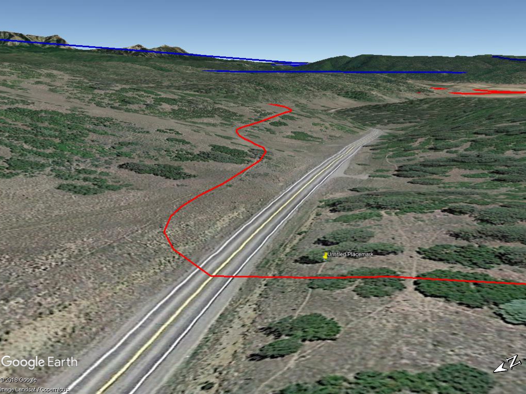
Would this happen to be the Rio Grande & Pagosa Springs out of Lumberton/Edith on the way to Pagosa Springs. Although the line did not reach Pagosa Springs proper. I would also guess your location is just north of Coyote Park, to the right side of your photo and Kenny Flats which is just to the east of your viewpoint behind the rise directly across the road from your panoramic view point? The highway in the foreground is U.S. Route 84. Which starts in Brunswick, GA and ends just East of Pagosa Springs where it merges into U.S. 160 at the T-intersection. I remember that location from last July when I drove from Pagosa Springs to Chama.

Image with your diamond sign and the three pine trees.

The pin is your approximate photo location looking in the general direction of my Google Earth image.
Ethan
We have witnessed valley
and plain and crest,
Canon and pass we've scanned;
We have seen the best
of the glorious West,
by the trail of the Rio Grande
-Author Unknown
Edited 1 time(s). Last edit at 07/26/2018 07:47PM by Colorado76.